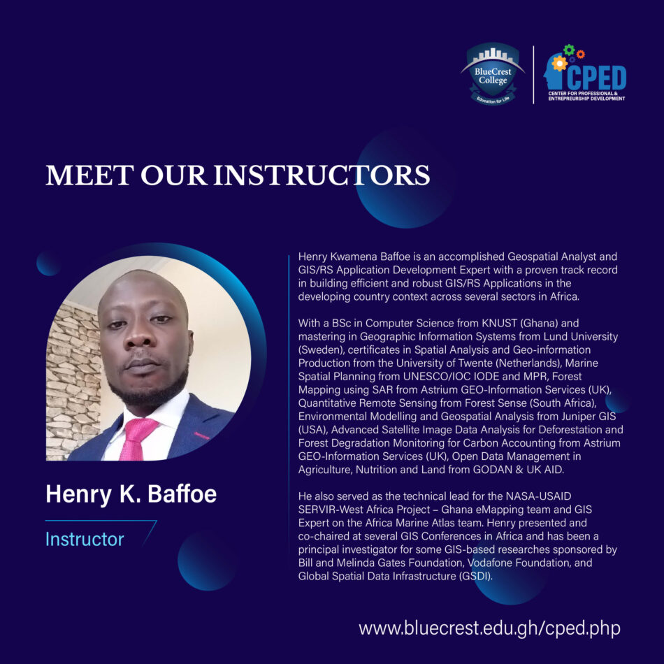
Henry Kwamena Baffoe is an accomplished Geospatial Analyst and GIS/RS Application Development Expert with proven track record in building efficient and robust GIS/RS Applications in the developing country context across several sectors in Africa.
He will deliver the following in our certificate course catalog:
- Introduction to GIS and Remote Sensing (5 Days)
Geographic Information Systems (GIS) is the IT systems framework for the implementation of geo-information science techniques. In this course, we will look at the various geo-information techniques, their applications, requirements and various components of a GIS. At the end of this course, you will be able to generate, process and visualize GIS data for specific project domains.
- GIS for Project Monitoring, Evaluation and Learning (MEL) (5 Days)
Project monitoring, evaluation and learning is essential for the successful accountability during and after project implementation. GIS for project monitoring, evaluation and learning is designed to equip MEL officers to integrate GIS in MEL to enhance the MEL processes and also empower them to identify patterns, trends and relationships which are location-based. This improves the overall reporting and communication of project results and impacts to stakeholders.


